The choice of these countries was directed in part by the fact that radical changes have been
put in place (England and Flanders) or have been proposed (the Netherlands). The scale of the
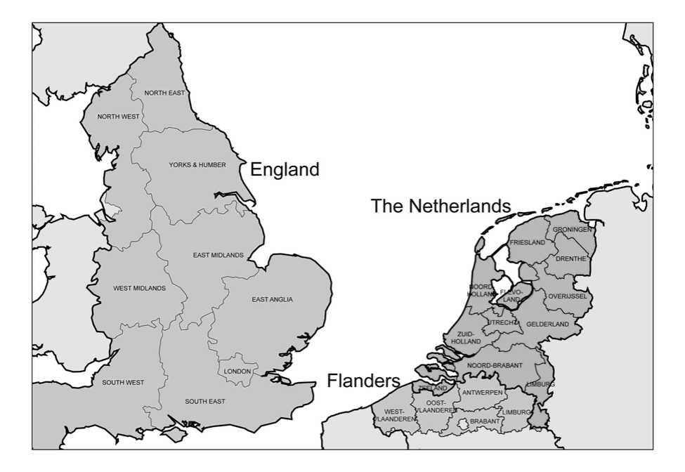
regional level differs. The English region falls in the NUTS1i category and the Dutch and
Flemish province in that of NUTS2 (see also Figure 2). In this article, the regional levels on
which we focus have in common that they come under the legislative government level. So in
Flanders the Flemish Region is the legislative power in the area of spatial planning and not
the province.
Besides the radical changes, it is also interesting to consider these three countries, because
there is evidence of a phase difference in the implementation of the changes in the planning
system. In Flanders, the original changes date from the mid 1990s (they were finally put into
force in 2000), in England they were introduced in 2004, and in the Netherlands the changes
have still to be ratified by parliament. Consequently, as the analysis of the countries shows,
the extent to which planning practice is concerned differs.
In all three countries the regional level has gained in importance. As the descriptions will
make clear, the reasons as to why the regional government level has become more important
and the manner in which this importance is worked out in regional competences and
instruments differ per country. The central question in this article is the manner in which the
regional level is strengthened through the changes in the planning system. What types of plans
are there, or have been proposed, at the regional level? In what manner is the conformity of
spatial decisions at the regional level with planning on other levels guaranteed into the
planning system? And why have changes in the planning system taken place at the regional
level? Do the changes in the planning system make the new role for the region feasible?
Figure 2: Regional level in England, Flanders and the Netherlands

MORTH WEST
HOLLAND
Flanden
WEST-
England
The Netherlands
More intriguing information
1. Reconsidering the value of pupil attitudes to studying post-16: a caution for Paul Croll2. Spatial patterns in intermunicipal Danish commuting
3. Solidaristic Wage Bargaining
4. Les freins culturels à l'adoption des IFRS en Europe : une analyse du cas français
5. 5th and 8th grade pupils’ and teachers’ perceptions of the relationships between teaching methods, classroom ethos, and positive affective attitudes towards learning mathematics in Japan
6. Estimation of marginal abatement costs for undesirable outputs in India's power generation sector: An output distance function approach.
7. Dual Track Reforms: With and Without Losers
8. The name is absent
9. The name is absent
10. The name is absent